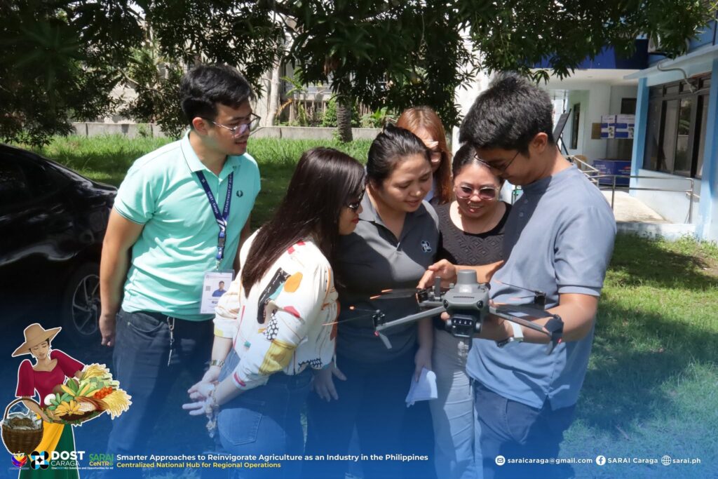
As part of its preparation toward digitalizing agriculture in local communities, personnel from the Department of Science and Technology (DOST) Caraga completed a three-day training on basic drone familiarization and operation held on May 5–7, 2026 in Ampayon, Butuan City.
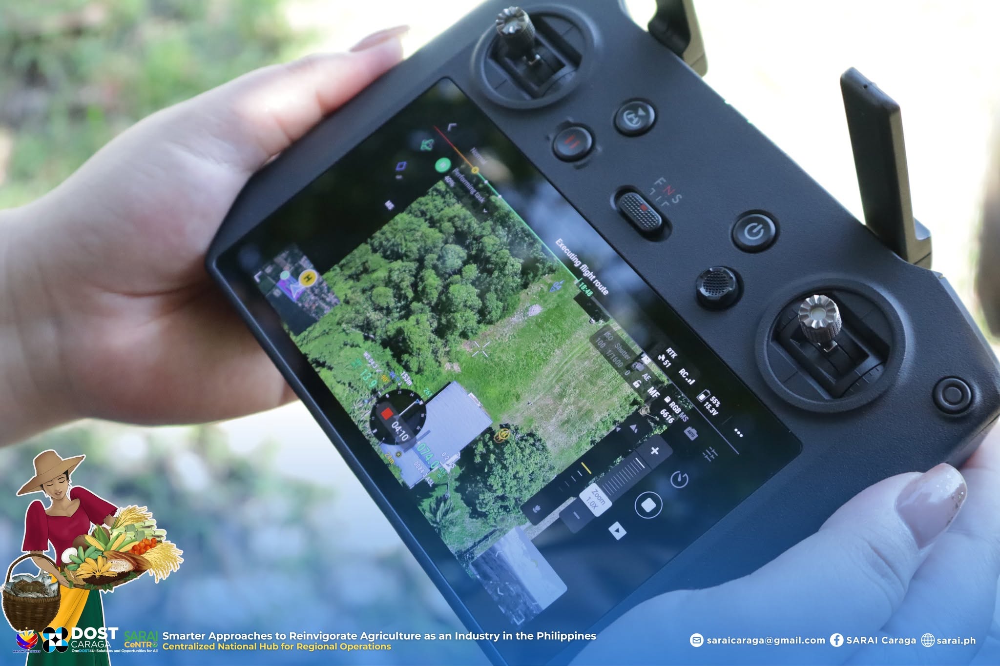
The training equipped participants with fundamental knowledge and skills on Remotely Piloted Aircraft Systems (RPAS), including drone settings, troubleshooting, maintenance, safety practices, and basic aerial maneuvers in accordance with the Civil Aviation Authority of the Philippines (CAAP) RPAS Regulations.
The use of drone technology is expected to strengthen crop management practices by providing detailed and accurate field data, such as land topography, planting structure, plant health monitoring, harvestable area estimation, and yield prediction. Through aerial mapping and data collection, drones can support more efficient and data-driven agricultural planning and decision-making.
In the succeeding phase of Project SARAI CeNTRO implementation, personnel from Local Government Unit (LGU) agriculture offices are also set to undergo similar training. The drone-captured data and images will support mapping activities and the development of more efficient agricultural systems, making agriculture more productive and responsive to the needs of farming communities.


Comments are closed, but trackbacks and pingbacks are open.